
The FAAM Airborne Laboratory now has the capability to share live weather data as it flies, directly to the Met Office for use in weather forecasting.
Our research aircraft collects an abundance of environmental data and carries enough instrumentation to measure up to 150 different parameters during a single flight. All of this data goes into the Centre for Environmental Data Analysis (CEDA) archive to be used by environmental scientists.
Analysing this data can take many months so it may be a while before findings are shared. But a recent addition to our research aircraft’s in-flight data sharing capabilities means we now provide live data for use in large-scale weather and climate modelling. In simple terms: our data can now directly help develop weather forecasts.
“The live-aircraft data on our aircraft is information about the conditions we fly through that gets packaged up in a form that is able to be read by systems in the Met Office,” explains Jack Farr, Scientific Measurement Support at the FAAM Airborne Laboratory. He adds: “This information is then passed along to the World Meteorological Organisation (WMO) to be used by computer models and human forecasters anywhere on Earth.”
Global forecasting models
The WMO operates the Global Telecommunication System (GTS), which receives atmospheric data that can then be processed and accessed worldwide. The GTS supports a global meteorological observation programme called the World Weather Watch (WWW). Data from the WWW is used by National Meteorology Centres (e.g. the Met Office, NOAA, ECMWF) in their local weather forecasts, as well as in longer-term weather and climate prediction models.
Data inputted into these models can be used to produce the local weather forecast you see on the news, or feed into longer-term climate monitoring and prediction. Our ability to send data to the GTS means our flights have an extra purpose: to help provide data for these models.
What data are we sending?
We take measurements at one-minute intervals, giving a detailed picture of what the weather conditions are like during a flight. The data we collect to send to the GTS include:
- Global position (latitude and longitude)
- Altitude
- Air temperature
- Relative humidity
- Wind speed
- Wind direction
How is our live data different from data collected by most commercial aircraft?
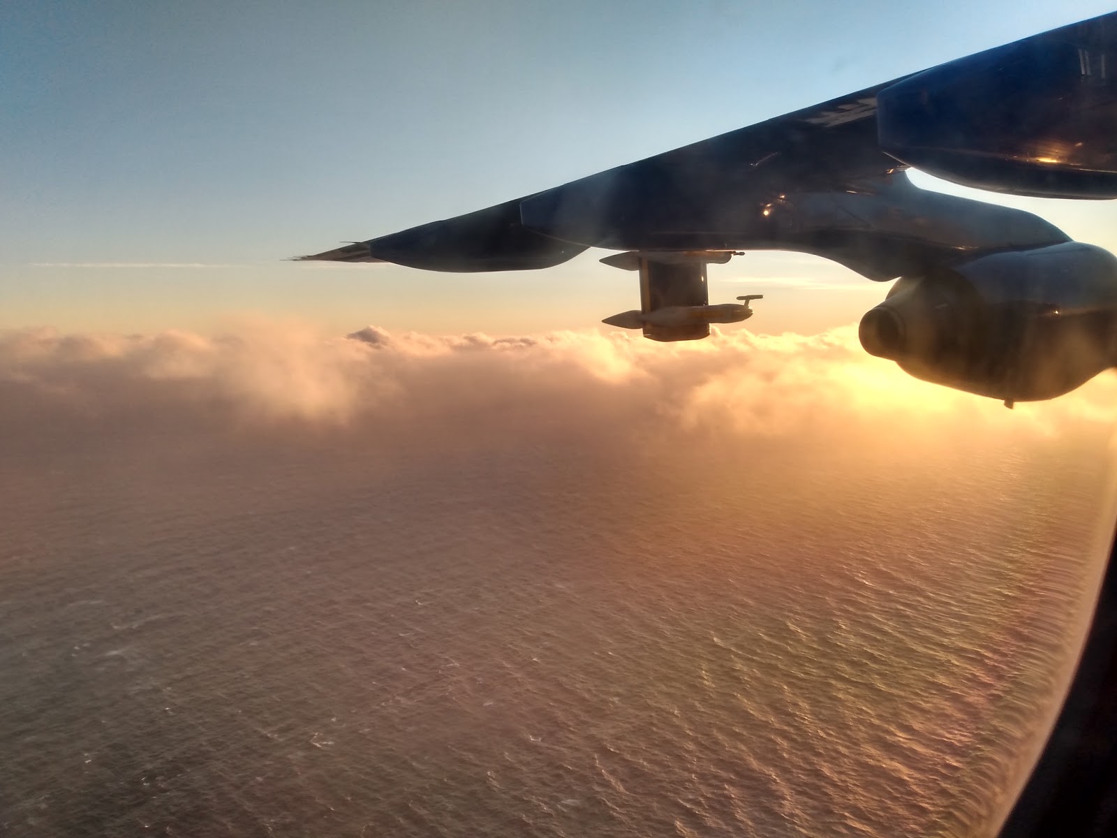
Live data transmission to the GTS is something that commercial aircraft have been doing for several years, through projects such as AMDAR, TAMDAR and IAGOS. Our research aircraft is not sending data through any of these programmes but we are still providing the information to the Met Office to be sent to the GTS. What makes our data special is that it is collected primarily from the lower troposphere. This is the layer of the atmosphere where ‘weather’ happens, so it’s likely to be highly relevant to building accurate forecasts. We also fly non-standard flight paths and often are measuring in regions experiencing particular weather conditions (such as for the WesCon project). This means we can provide data in places that otherwise wouldn’t be measured.
Commercial aircraft fly at much higher altitudes for efficiency, so much of their data from the lower troposphere comes during the ascent and descent portion of flights, generally close to airports. This provides continuous ‘weather balloon’-type data over busy airports. This also means that regions of the lower troposphere away from these airports are less likely to be measured, which is where data from our research aircraft comes in useful.
Where is the weather?
Most of the atmospheric conditions that make up the Earth’s weather occur in the troposphere; the lowest layer of the atmosphere. Different weather conditions are driven by changes in air pressure, temperature and moisture between places. Our atmosphere is a chaotic system meaning that small changes to the weather can quickly magnify and result in much more extreme conditions.

The unpredictability of this system means that there is an upper limit of two weeks for accurate, reliable forecasts. This makes it very difficult to accurately forecast the weather more than a few days into the future. However, through the development of global weather models meteorologists aim to increase the accuracy of predictions and be able to provide detailed weather forecasts further than a few days in advance.
Improving data capabilities through the Mid-Life Upgrade
This project is just one of the ways we are improving our data systems. The Mid-Life Upgrade programme is responsible for several projects to update and improve our aircraft’s infrastructure. Find out more about the infrastructure projects currently in development.