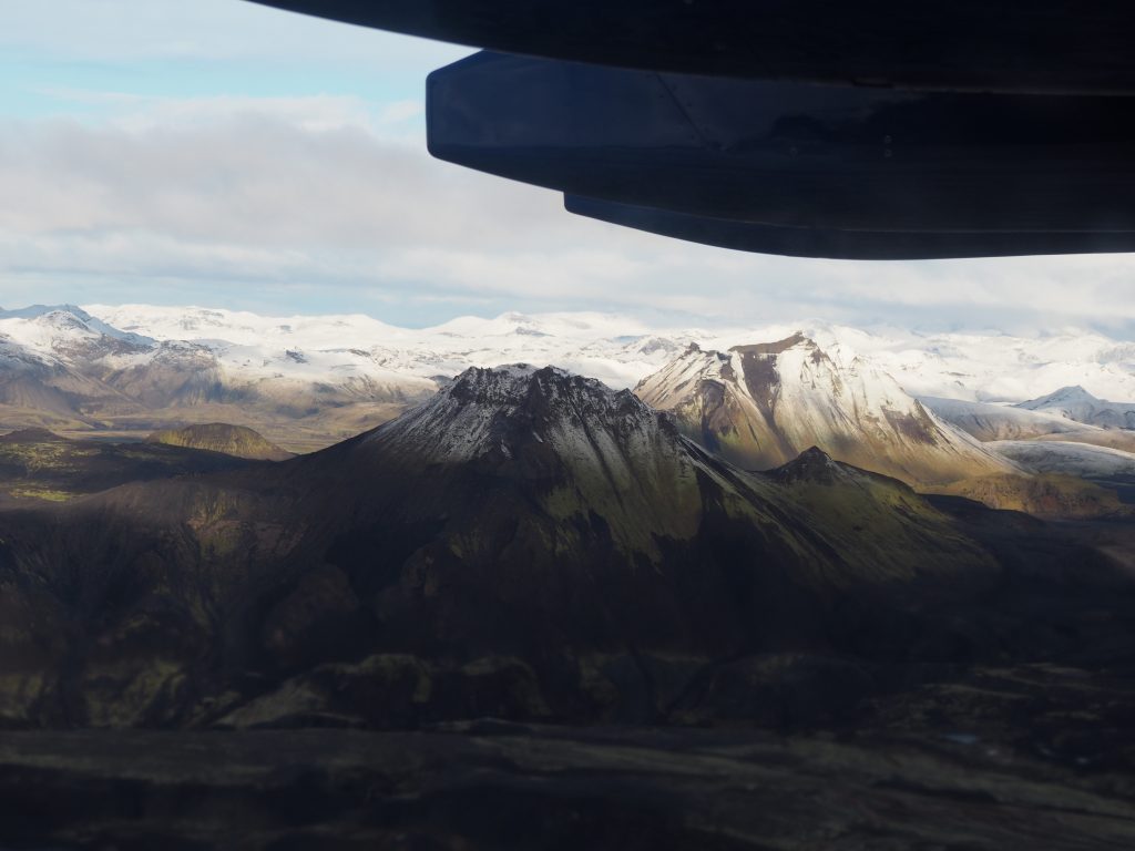
This week’s Reykjanes eruption is not expected to produce much ash, and scientists advise that it is unlikely that there will be impacts on air travel this time around.
But 13 years ago the Icelandic volcano Eyjafjallajökul erupted, sending a plume of volcanic ash over 9km into the sky.
The 2010 eruption was relatively small but its impact was massive, as Europe experienced air travel chaos for almost one month.
The National Centre for Atmospheric Science played a key role in reopening European air space, using our FAAM Airborne Laboratory’s research aircraft to map the distribution of ash particles.
The ash plume contained large amounts of microscopic particles of hard volcanic rock, which even in small concentrations can be extremely damaging to aircraft engines.
Our scientists worked closely with the Civil Aviation Authority and the Met Office to track the ash plume and its contents using scientific instruments fitted to two research aircraft, alongside a series of computer models.
The FAAM Airborne Laboratory’s research aircraft was fitted with a special instrument that uses a laser to illuminate the ash particles from above. Another aircraft, a Dornier, flew below the plume to help map the ash.
The two aircraft were able to fly where commercial airlines could not, due to their ability to detect the volcanic plume via the research instruments on board. To sample different layers of the plume, the aircraft flew up and down at heights between 2-6km.
Meanwhile, scientists on the ground used computer models to build a picture of how the plume was moving using observed wind fields and interpretations from global weather forecasts.
The latest eruption, on the Reykjanes peninsula, is a different type to the 2010 Eyjafjallajökul eruption. This time the eruption is producing lava flows and gas, known as an effusive eruption.
Away from the immediate vicinity of the Reykjanes eruption, the main focus is on monitoring the emission of volcanic gases – particularly sulphur dioxide.
The National Centre for Atmospheric Science has measurement capabilities that can be used to detect volcanic gases – deploying the FAAM Airborne Laboratory or making ground-based observations, if required. Our researchers are also running computer models on a daily basis to predict the dispersion of volcanic gases.
